The Best Hill Photo Spots around La Ciotat in France
Explore Hill pictures of La Ciotat with the travel spots on a map
Download the Travel Map of France on Google Maps here
10 Hill Spots of La Ciotat on a Map
Pictures of Hill on the interacive map of La Ciotat
Download On Google Maps 🗺️📲Hill Spots and Pictures around La Ciotat
Discover popular destinations in La Ciotat with their travel guides
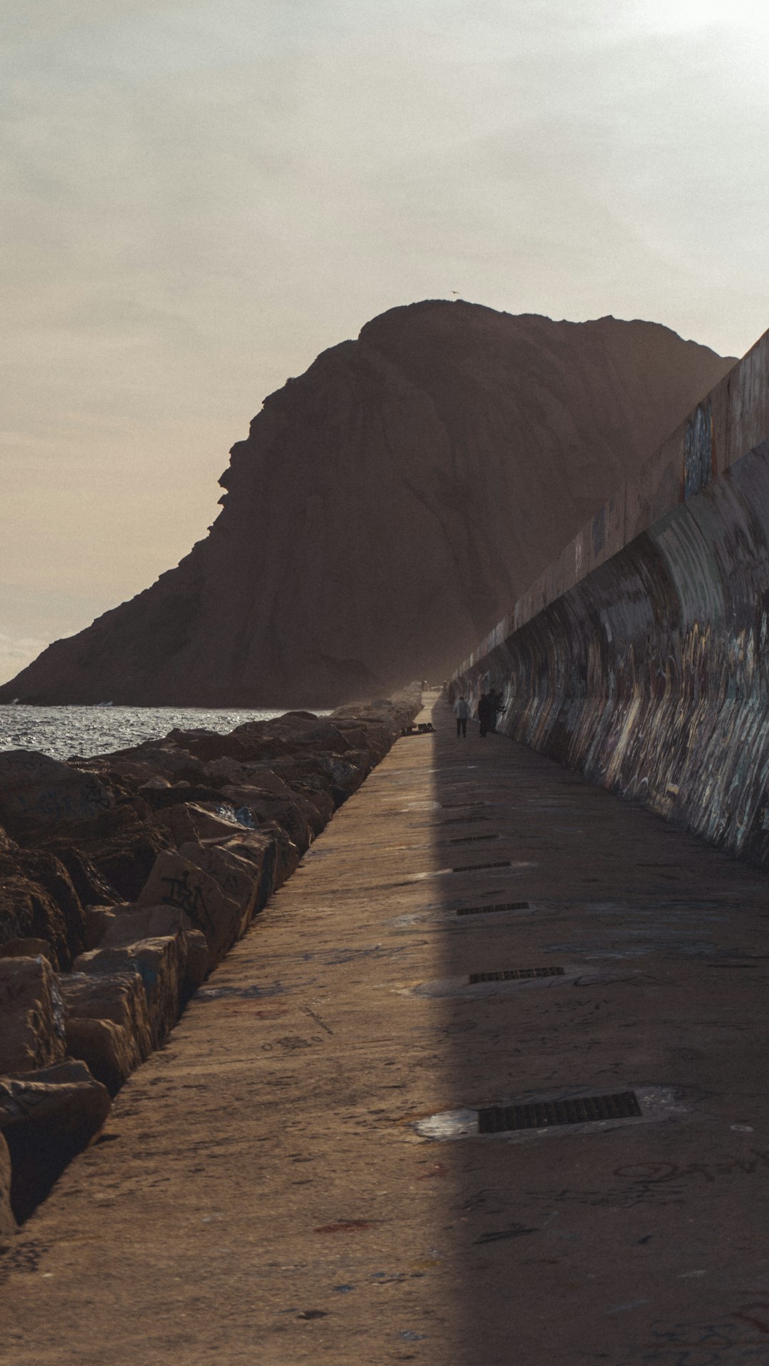
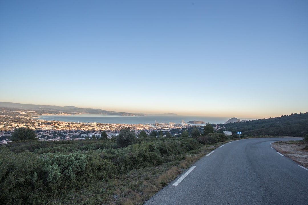
La Ciotat
Read the Travel guide View on Google Maps
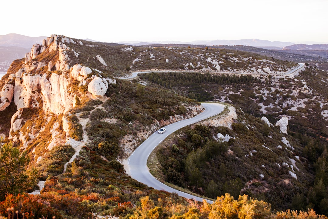
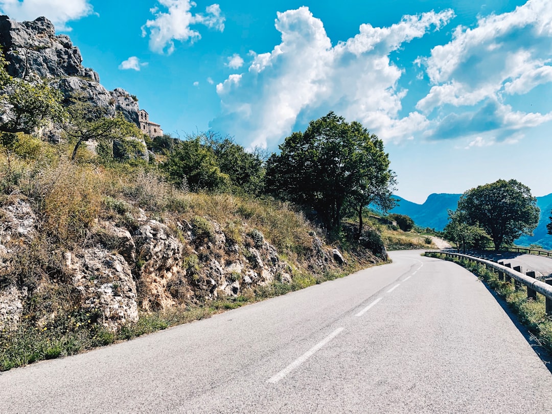
Route des Crêtes
5 km away from La Ciotat
Read the Travel guide View on Google Maps
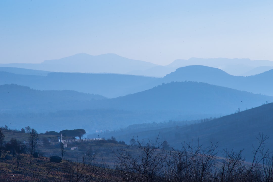
Parc national des Calanques
12 km away from La Ciotat
Read the Travel guide View on Google Maps
Col de la Gineste
14 km away from La Ciotat
Read the Travel guide View on Google Maps
Collobrières
58 km away from La Ciotat
Read the Travel guide View on Google Maps

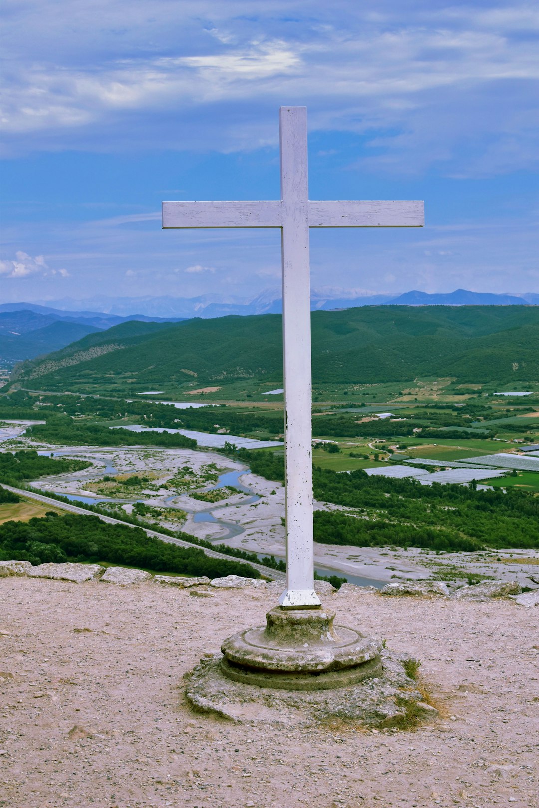
Valensole
80 km away from La Ciotat
Read the Travel guide View on Google Maps

Oppède le Vieux
81 km away from La Ciotat
Read the Travel guide View on Google Maps

Cheval Blanc
82 km away from La Ciotat
Read the Travel guide View on Google Maps

Provence-Alpes-Côte d'Azur
93 km away from La Ciotat
Read the Travel guide View on Google Maps
Ganagobie
96 km away from La Ciotat
Read the Travel guide View on Google Maps
Book your Travel Experience in La Ciotat
Discover the best tours and activities in La Ciotat and book your travel experience today with our booking partners
Learn More about La Ciotat
Find Hotels in La Ciotat
Discover the best hotels around La Ciotat, France and book your stay today with our booking partner booking.com